|
SCENES
from IRELAND -
See also
Email:
chem55555@hotmail.com
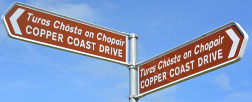
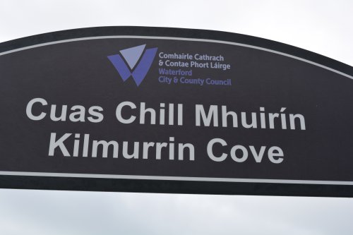
The tourist sign for the Co, Waterford Geopark Copper Coast Drive for the beach at Annestown, Kilmurrin Cove beach, Boatstrand and its tiny harbour and pier Author and photographer © Dr Phil Brown PhDplus notes help from AI, page updated Oct 27th 2026] *
(a) Annestown Beach (Bun Abha)
There is a good car park by Annestown Beach
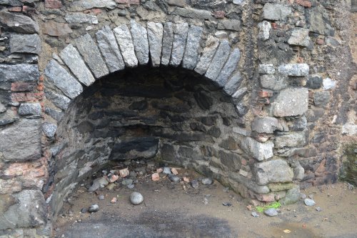
The lime kiln near Annestown beach strand
Information boards about the geology of Annestown beach and cliffs.
Annestown Beach, a fine safe strand for bathing
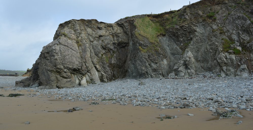
Annestown - the pebble and sand beach
A broader view of Annestown Beach
Annestown Beach is one of the gems of County Waterford's Copper Coast, a spectacular stretch of shoreline between Tramore and Dungarvan. The beach lies beside the tiny village of Annestown (Irish: Bun Abha, meaning "river's end"), where the Anne River reaches the sea. The beach itself is a picturesque sand-and-shingle cove enclosed by cliffs and headlands. At low tide, broad sandy areas are exposed, while offshore rocks and small tidal islands emerge from the water. The beach is popular with walkers, photographers, surfers and swimmers, although the water is generally shallow and conditions can change quickly. A bit of geologyFor anyone interested in geology, Annestown sits within the Copper Coast UNESCO Global Geopark, one of Ireland's most important geological landscapes. The coast records events dating back roughly 460 million years, when this region lay beside an ancient ocean and was affected by volcanic activity. The wider Copper Coast is famous for:
Around Annestown itself, careful observers can see how marine erosion has sculpted the coastline. The cove, sea arch, offshore stacks and low-tide islands are all examples of the sea exploiting weaknesses in the rock over thousands of years. What makes it special?Unlike some of Ireland's larger beach resorts, Annestown retains a relatively untouched feel. The combination of a small village, rugged cliffs, wide views across the Celtic Sea and fascinating geology makes it an excellent stop on the Copper Coast drive. On a calm evening, especially near sunset, the reflections on the wet sand can be superb for photography. As a fellow admirer of coastal geology, I'd say Annestown is particularly rewarding because the scenery is not just beautiful: the cliffs and rocks are pages from a geological history book stretching back hundreds of millions of years.
(b) Boatstrand (Dunabrattin)
*
Boatstrand Harbour Boatstrand Harbour is one of the most charming little harbours on the Copper Coast of County Waterford, located between Annestown and Bunmahon. The Irish name, Trá na mBád, literally means "beach of the boats", which is entirely appropriate when you see the small fishing fleet gathered around the cove. The harbour itselfBoatstrand is tiny. The village consists of only a small number of houses clustered around a sheltered fishing cove and harbour. The harbour has long been used by local fishermen and remains a working harbour today, with small fishing boats and leisure craft launching from the dock. The present harbour was built in the 1880s, making life much easier for fishermen who previously had to haul their open boats up onto the beach by hand. Today, it remains an active focal point for the local community, especially during summer when the harbour is busy with:
Swimming and recreationUnlike nearby Annestown, which is more exposed, Boatstrand is a sheltered harbour beach. The small sandy beach beside the pier is regarded as a safe spot for swimming and is popular with families. The harbour is particularly attractive at high tide when the water fills the basin beneath the cliffs. Sea swimmers know Boatstrand well. One well-known local swim finishes at the harbour after starting from nearby Kilmurrin Cove. Dunabrattin HeadImmediately above the harbour rises Dunabrattin Head, the rugged headland that gives Boatstrand much of its character. This rocky promontory shelters the harbour from the open sea and provides magnificent views along the Copper Coast. The headland is also archaeologically important. It contains the largest known promontory fort on the Waterford coast, occupying roughly six hectares. The fort was associated with a Celtic group known as the Brattins and dates back around 2,000 years. GeologyFor a geologist, Boatstrand is a delightful stop because it lies within the Copper Coast UNESCO Global Geopark. The coastline here was shaped by a series of geological events that began hundreds of millions of years ago when ancient oceans closed and volcanic activity affected the region. Around the harbour you can observe:
The dramatic shape of the harbour owes much to marine erosion exploiting weaknesses in the ancient rocks. The resistant rocks of Dunabrattin Head form a natural breakwater, creating the sheltered basin that fishermen have used for generations. This is a lovely example of the relationship between geology and human activity: without the protective headland, there would scarcely be a harbour at all. Fishing heritageBoatstrand remains one of the few places on the Waterford coast where you can still get a feel for the traditional inshore fishing culture. Small boats, colourful hulls, lobster pots, nets and slipways are all part of the scene. Fishing today is generally on a much smaller scale than in the past, with many operators combining fishing with farming or other work. What to look for when you visitIf you visit on a fine day, I'd recommend:
For a coastal geologist or landscape enthusiast, Boatstrand is fascinating because it combines working maritime heritage, spectacular Copper Coast geology, a Celtic archaeological site, and one of the prettiest little harbours in Ireland.
The coast near Boatstrand
Just to the west of Boatstrand is the Copper Coast Geopark 'Fire and Water' sculpture by Colette O'Brien
picnic spot car park views from, west of Boatstrand
Views from the sculpture to the east i.e. towards Boatstrand - calm sea and rough sea!
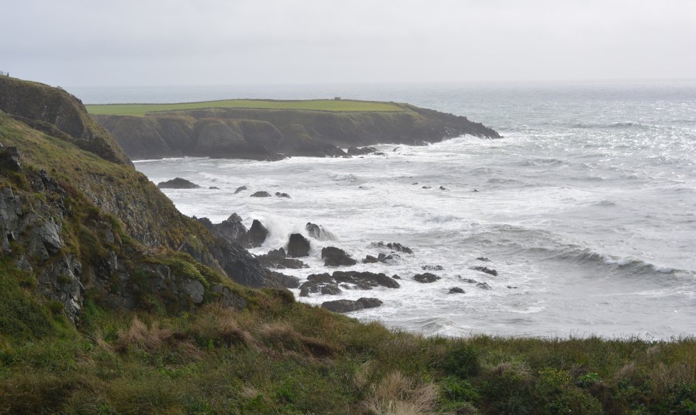
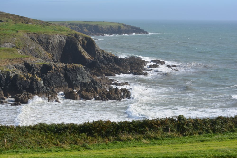
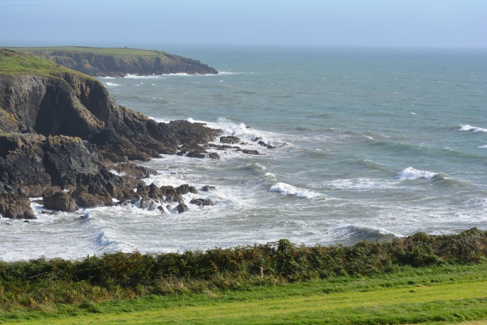
Views from the sculpture to the west i.e. towards Kilmurrin Cove - calm sea and rough sea
(c) The beach-strand at Kilmurrin Cove
The 'entrance' to Kilmurrin Cove Kilmurrin Cove is one of the most beautiful and secluded spots on Waterford's Copper Coast, lying between Boatstrand and Bunmahon. Unlike the more open beaches nearby, Kilmurrin feels tucked away and protected, with a small horseshoe-shaped bay enclosed by steep rocky headlands. The settingThe cove is reached by a narrow road that winds down through green farmland to a sheltered beach. From above, the view is magnificent: a curved sandy beach framed by cliffs, with the Atlantic stretching away towards the horizon. The surrounding countryside remains largely unspoilt, giving the area a peaceful, almost hidden character. Many visitors stop simply for the scenery, but those who walk along the headlands are rewarded with panoramic views of the coastline, sea cliffs and countryside. SwimmingKilmurrin Cove has a reputation as one of the better swimming spots on the Copper Coast because the bay is protected by two rocky headlands. These natural barriers help keep the water relatively calm and clear compared with more exposed beaches. The cove is particularly popular with:
Visitors frequently describe the waters as sheltered and suitable for swimming when conditions are favourable. The geologyAs someone interested in coastal geology, this is where Kilmurrin becomes especially fascinating. The cove lies within the Copper Coast UNESCO Global Geopark, an area internationally recognised for its geological importance. Exposed around the bay are Ordovician rocks, formed roughly 450 million years ago, when this region was associated with an ancient ocean and volcanic activity. Features visible around the cove include:
One of the most intriguing features is the blowhole. As waves enter sea caves beneath the cliffs, compressed air and water are forced upward through a vertical shaft, sometimes producing dramatic sprays during rough weather or high tide. Visitors are specifically encouraged to look for this feature while walking the headlands. Wildlife and plantsThe cliffs above the cove support classic maritime vegetation. Photographs from the area show species such as:
all thriving on the exposed cliff tops in spring and early summer. Seabirds are commonly seen along the cliffs, particularly when winds create updrafts over the headlands. Why photographers love itKilmurrin has a particularly photogenic shape. The contrast between:
creates one of the classic Copper Coast landscapes. It photographs beautifully from the elevated viewpoints above the beach. A comparison with Annestown and BoatstrandHaving discussed all three locations:
For many visitors driving the Copper Coast, Kilmurrin is the spot that best combines landscape, swimming, wild Atlantic scenery and geology in a single location. The ancient Ordovician rocks, the blowhole, and the near-perfect horseshoe shape of the bay make it a particularly memorable stop.
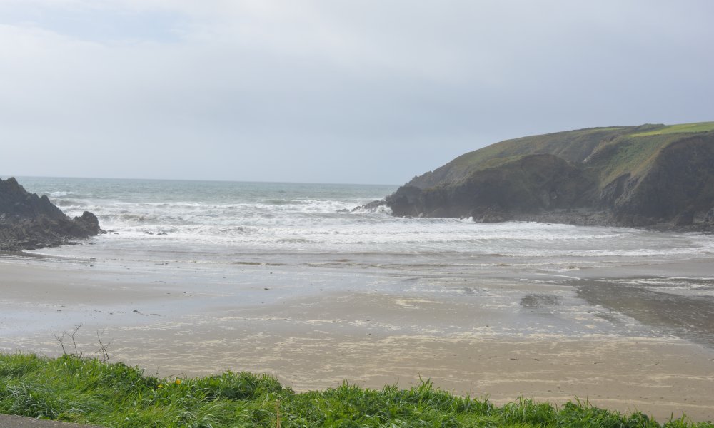
The beach strand at Kilmurrin Cove
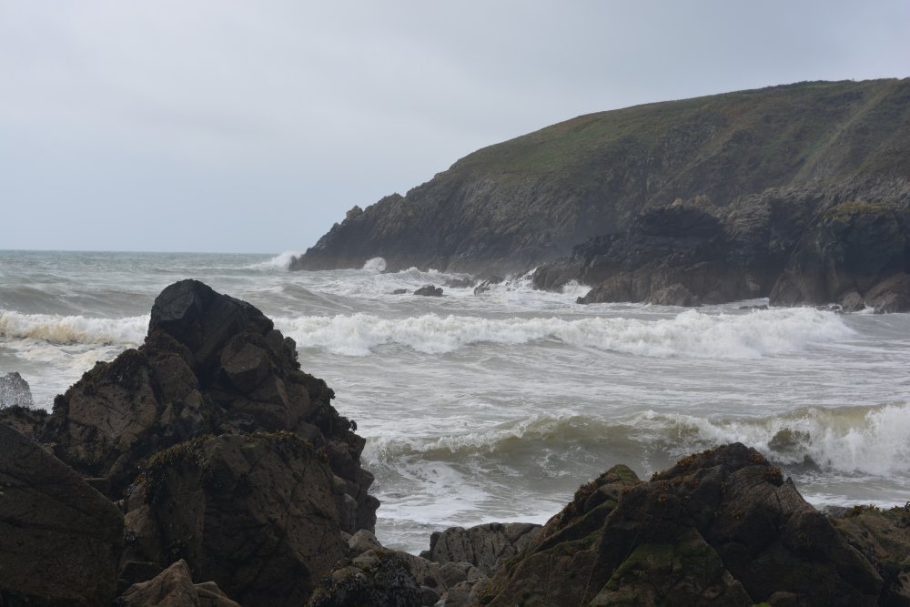
Rough seas and waves at Kilmurrin Cove
There is a nice sandy beach and safe bathing at the strand of Kilmurrin Cove
Views of Kilmurrin Cove from the west
The coast west of Kilmurrin Cove
See also 131b.
A drive along the 'Copper Coast' of Co.
Waterford, taking in Tankard's Town Mines, Slip, Bunmahon & Museum
|





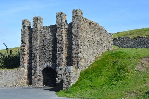


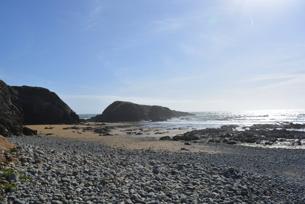

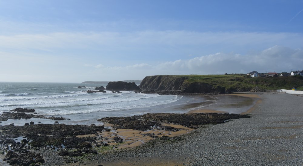
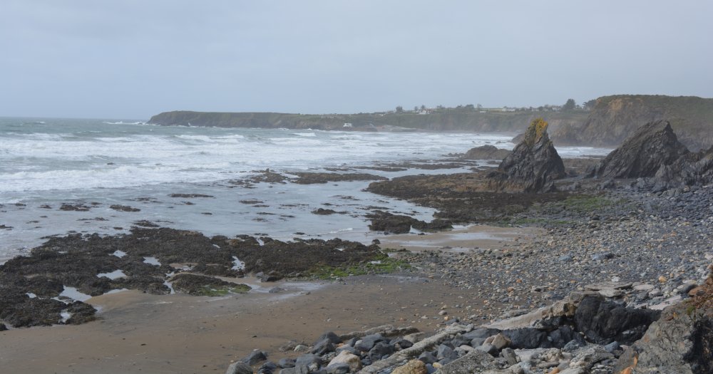


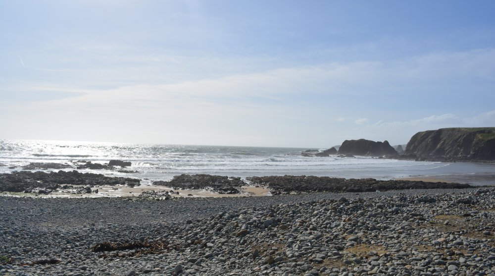


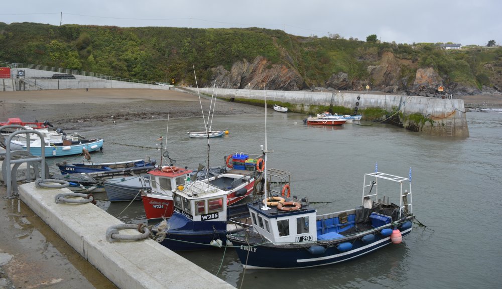
 Views of Boatstrand Harbour


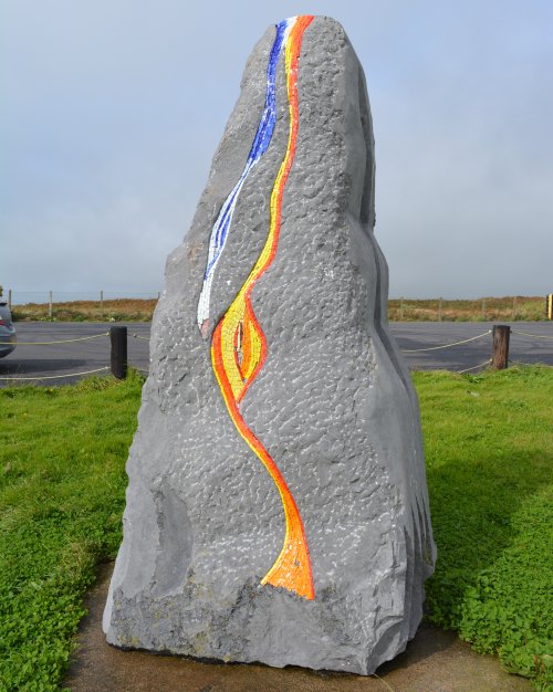


 The sculpture with a seagull on top!





























 Enter place, heritage site, feature, walk, town, village, city, museum, historic building,
mountain, island, anything of interest in Ireland!